Unit 2, 9 Camford Street, Milton QLD 4064
admin@leadingsurveys.com.au
(07) 3368 1666
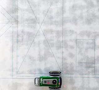
Automatic Robotic Setout
HP SitePrint Certified Service Provider
3D Modelling, BIM and Data
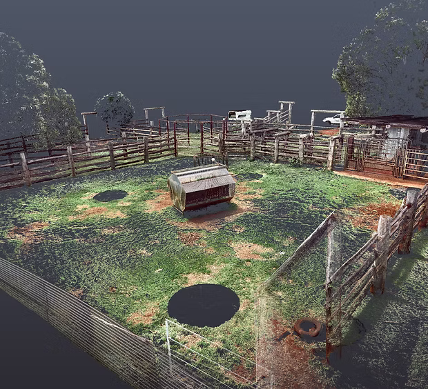
Scanning Services
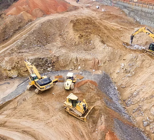
Machine Control
Control, Calibrations and Data Calculations
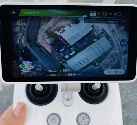
Drone/UAV
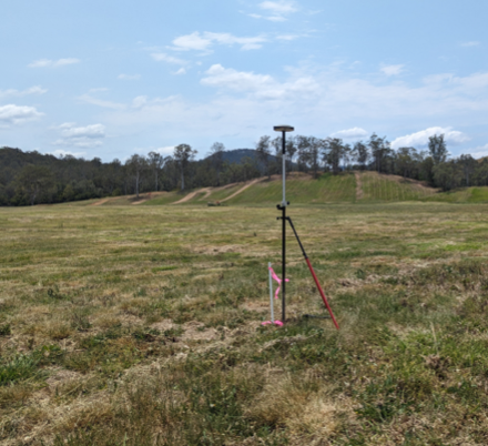
Aerial RTK 3D Spatial Surveying and photogrammetry
Cadastral Surveys
Property Boundary, Land Subdivision, Easement
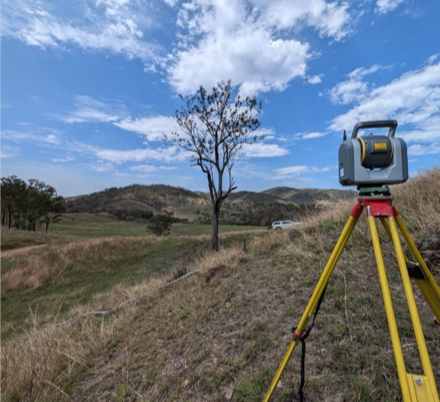
Contour and Detail Surveys
Site, Feature and Topographical
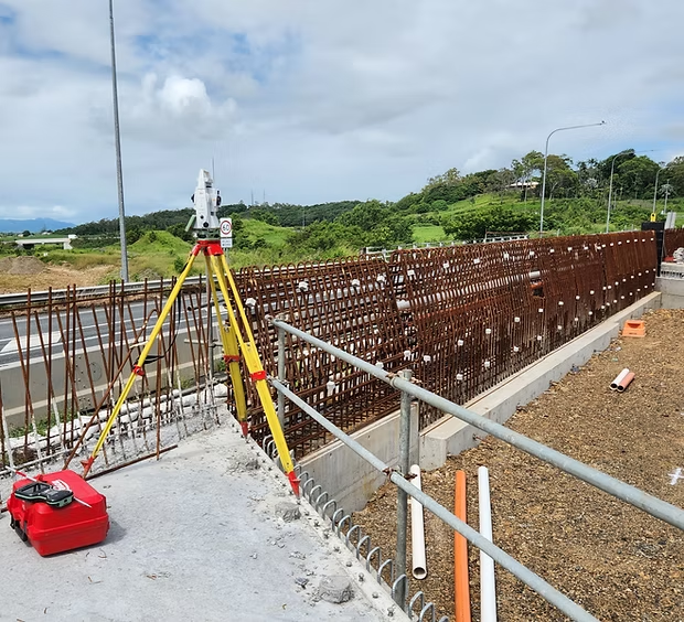
Construction Surveys
Building, Engineering and Civil Setout
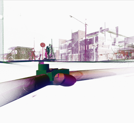
Subsurface Utility Investigation
Underground Infrastructure Identification